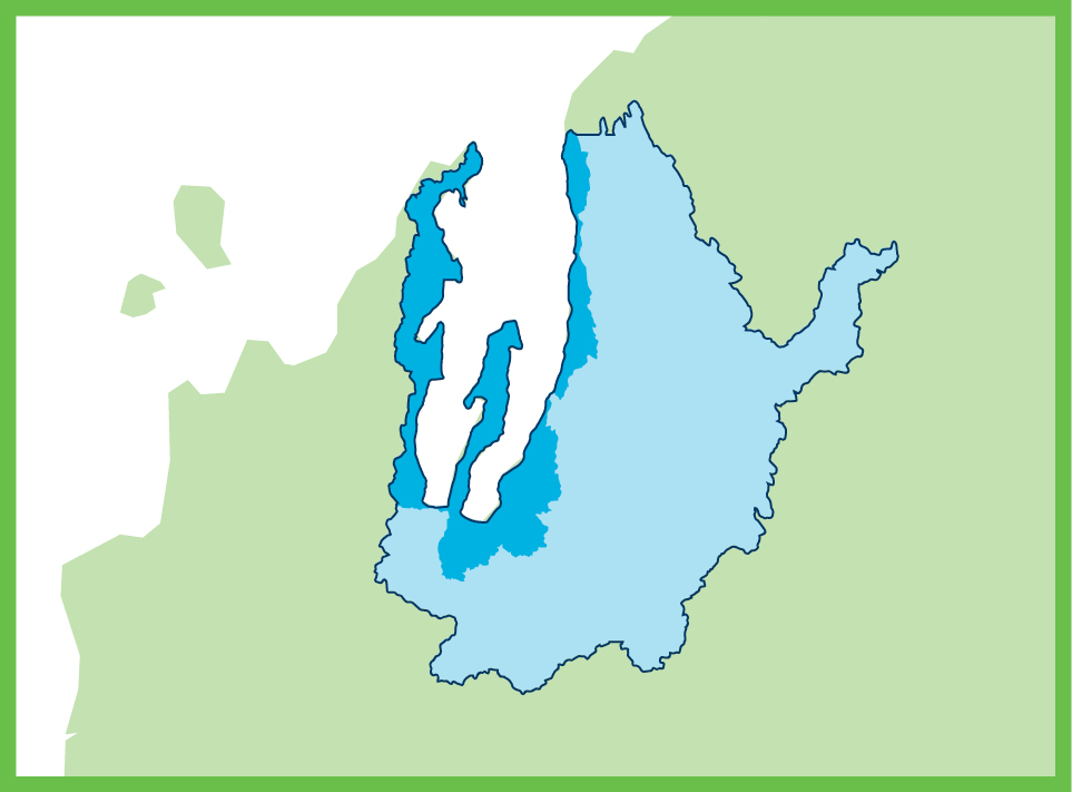
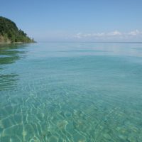
The coastal Grand Traverse Bay watershed includes subwatershed areas of Mitchell, Tobeco, Acme, and Yuba creeks, as well as areas along east and west Grand Traverse Bay and Old Mission Peninsula totaling 190 square miles. The coastal watershed area encompasses 7 lakes, 6 major rivers/creeks, and more than 100 additional small streams entering the bay. Most of the streams and rivers in this watershed are designated trout streams, with Tobeco Creek being the largest creek not classified as a coldwater trout stream.
There are several areas of state-owned and other public land in the coastal watershed area. This large amount of publicly owned land provides significant recreational opportunities, attracts thousands of visitors each year, and adds to the highly cherished quality of life that makes this area such a desirable place to live and visit.
There are 11 townships and 4 municipalities located along the shoreline of Grand Traverse Bay that deal with Great Lakes shoreline issues as well as other watershed concerns. Since the watershed crosses so many political boundaries, it is important for local governments to know and understand watershed boundaries and to plan on a watershed scale with neighboring townships and municipalities.
The Coastal Grand Traverse Bay Watershed Plan (brochure) approved by EGLE and EPA in 2021 focuses on the smaller drainage areas of the Grand Traverse Bay watershed, as well as Grand Traverse Bay itself. The plan identifies changes to hydrologic flow, loss of habitat, nutrients, and sediment as priority pollutants. Major sources for these pollutants include road stream crossings, shoreline erosion, stormwater, reduction of wetlands, lack of riparian buffers/streamside canopy, and septic systems. The coastal plan focuses on reducing and/or eliminating development, lack of ordinances to protect water quality and natural resources, lack of riparian buffers, reduction of wetlands, road stream crossings, streambank and shoreline erosion, and stormwater as pollutant sources that address the bulk of the pollution entering the watershed.
Within the coastal Grand Traverse Bay watershed, Mitchell Creek is on the State’s 303(d) Impaired Waters List for not meeting the “total body contact” designated use due to bacterial contamination from E. coli. In 2021, The Watershed Center began conducting microbial source tracking studies. Surface water and groundwater testing for E. coli and other genetic markers is being conducted at various locations along Mitchell Creek to determine the source of bacterial contamination.